David Rumsey Map Center
About us
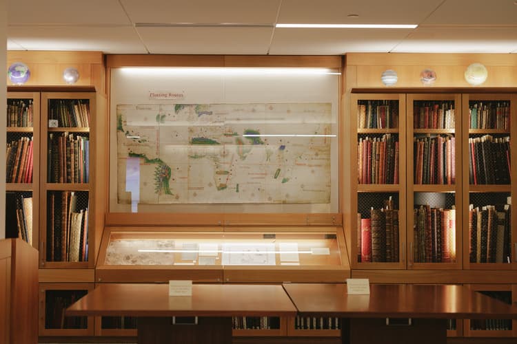
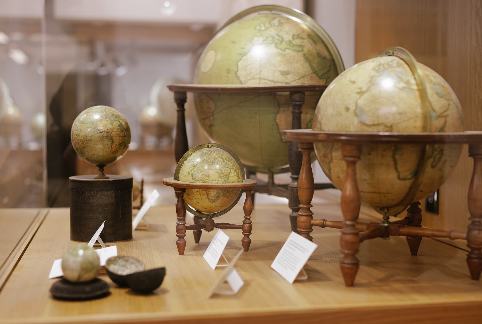
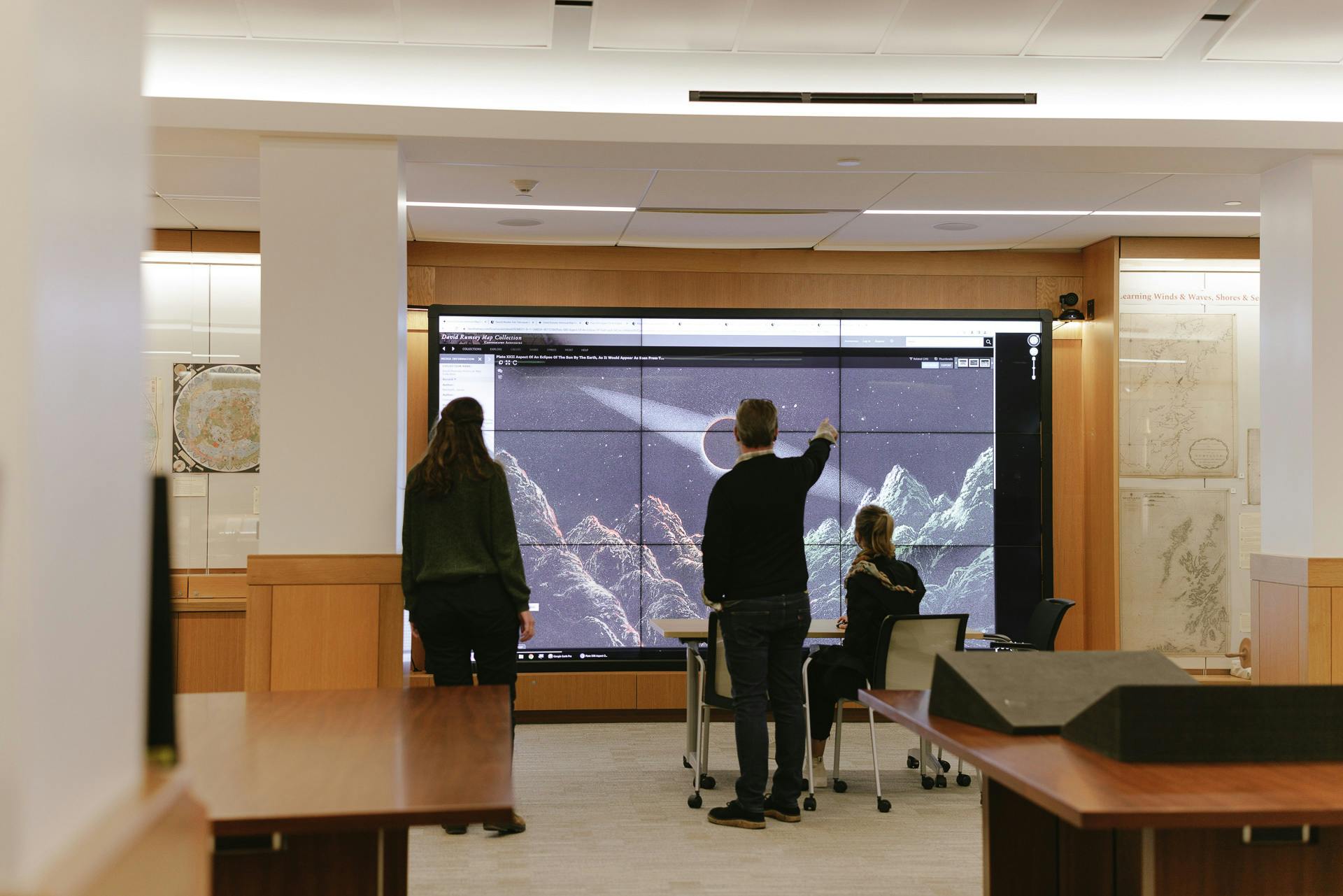
Since its opening in 2016, the David Rumsey Map Center has served as one of the most significant cartographic collections on the West Coast. Sitting at the intersection of technological advancement and historical materials, we house thousands of maps, atlases, and globes, as well as thousands of digital records, making them accessible to researchers across the world on our two wall-sized screens. We foster relationships between the public and these materials through a vigorous program of classroom instruction, researcher consultations, physical and digital exhibits, conferences, talks, and other events.
Using the David Rumsey Map Center
- See Visiting the David Rumsey Map Center to learn about open hours, exhibitions, and guided tours.
- See Research at the David Rumsey Map Center for information about using the Map Center for research purposes.
Research support
Featured collections
David Rumsey Collection
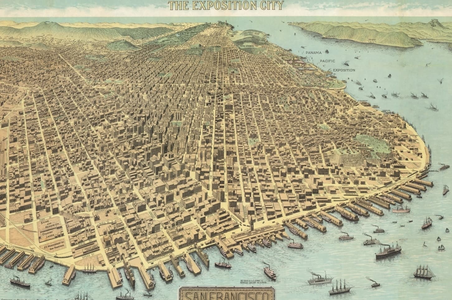
View items in SearchWorksView high-resolution scans that showcase the breadth of the David Rumsey Map Collection, including atlases, globes, school geographics, maritime charts, pocket maps, wall maps, and manuscript maps.

Maps of Africa
Go to the exhibitStanford University Libraries is home to a strong collection of maps of Africa, including maps donated by Oscar I. Norwich and Caroline Batchelor as well as maps from the Barry Lawrence Ruderman Collection, the University of Cape Town Collections, and the David Rumsey Map Collection.

Glen McLaughlin Map Collection of California as an Island
View items in SearchWorksThe first mention of California as an island is in Garci Rodriguez de Montalvo’s novel Las Sergas de Esplandián, published in 1510. It was not until Father Eusebio Kino’s map A Passage by Land to California was published around 200 years later that this cartographic blunder was exposed. Containing nearly 800 maps, materials in this collection range from hemispheric to world maps, from title pages to celestial charts, all depicting California as an island.
Accessibility
Patrons with limited mobility can take the Bing Wing elevator to the fourth floor.