Geospatial Services and GIS
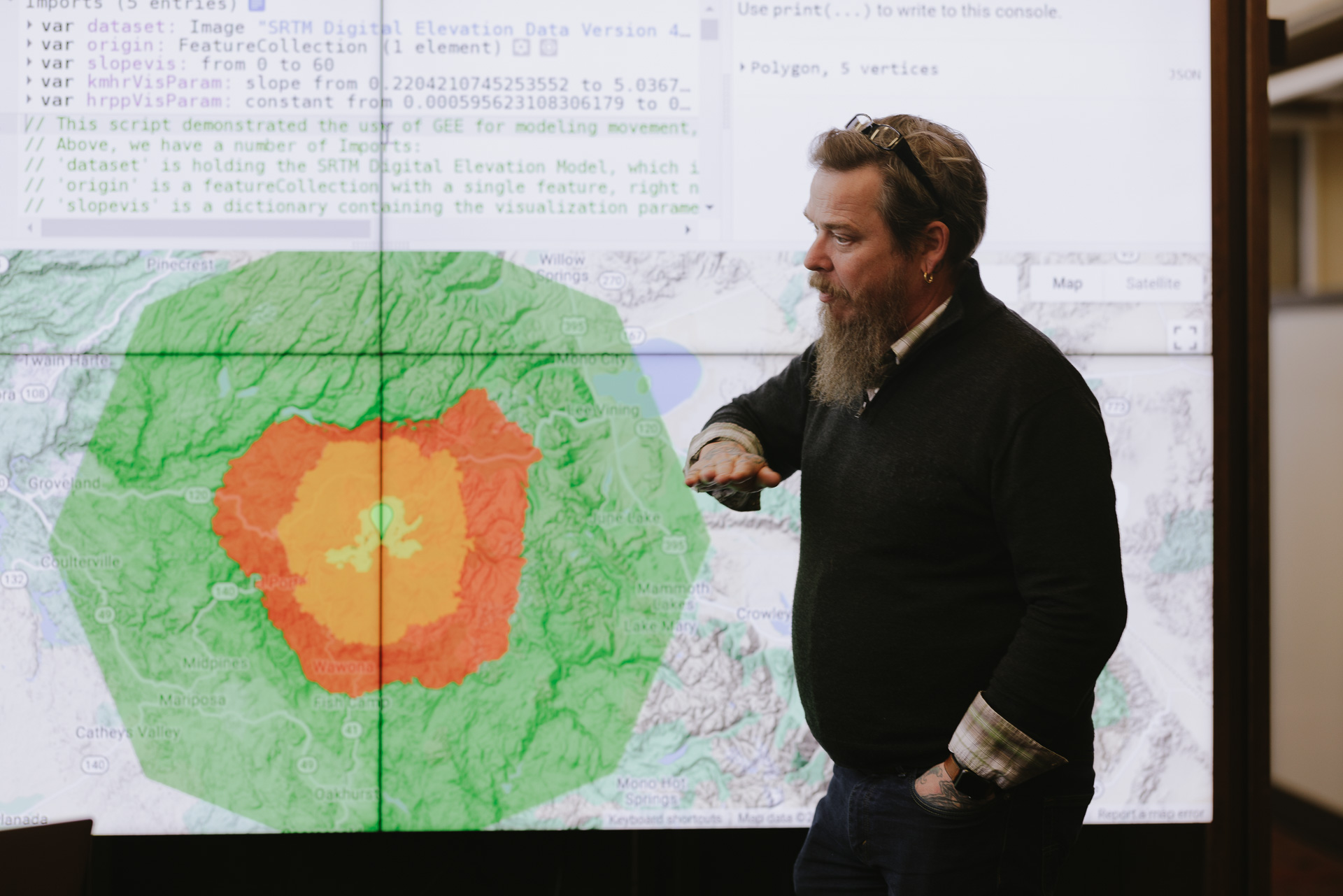
The Stanford Geospatial Center (SGC) supports the use of spatial data, methods, and technology in research and teaching at Stanford University. The SGC provides access and support for a wide range of geographic information system (GIS) resources, including softwares like ArcGIS Pro, ArcGIS Online, QGIS, Google Earth Engine, and datasets like Planet.com’s daily image of the Earth.
The SGC also maintains spatial data infrastructure for research, like Earthworks, our spatial data catalog, and locator.stanford.edu (Stanford IP only), Stanford University Libraries' global geocoding service.

Who is eligible
Our services are available to everyone in the Stanford community. Our staff want to help make sure you have the data, tools, and support you need for your research and teaching.
What to expect
Expect to find spatial data professionals who can help you make the most of the “where” in your research and facilities to make your work easier. We have broad experience supporting the use of spatial data, from earth sciences to epidemiology and the digital humanities. In our lab, patrons have access to powerful desktops, large high-resolution monitors, and digitization technology for working efficiently with spatial and Earth-observation data.
Additional resources
- Earthworks: Check out Stanford University Libraries' spatial data catalog.
- Geocoding Services: Turn your global addresses and place names into spatial data (Stanford IP only)
- ArcGIS Online: Use your SUNet ID to access GIS and our self-paced workshops
- Planet.com: Access Planet.com's Planetscope—daily, multispectral satellite imagery
- Google Earth Engine: Access 600+ Earth observation datasets and the processing power to make sense of them
- SimplyAnalyticis.com: Query, map, and export customized U.S. Census and other demographic dataset extracts. (Stanford IP only)
- Stanford-Geospatial Slack: Join the Slack workspace for the Stanford Geospatial Center
- The SGC Guide: Browse these self-service resources for using our spatial data collections, software, and services
Questions about the "where" in your research?
Email the Stanford Geospatial Center team (stanford-geospatial@stanford.edu).