Stanford Geospatial Center

About us
The Stanford Geospatial Center (SGC) advances and supports the use of spatial data, methods, and technologies across research, teaching, and scholarship at Stanford University. We support faculty, students, and staff working across disciplines—from environmental science and public health to history, urban studies, and engineering—by providing access to geospatial software, data, infrastructure, and expertise.
SGC maintains access to, and supports, a broad ecosystem of geospatial resources and develops research infrastructure such as EarthWorks, Stanford University Libraries’ spatial data catalog, and Locator, Stanford’s global geocoding service.
Through consultations, training, and shared resources, the SGC helps researchers integrate spatial thinking and analysis into their work, enabling new approaches to understanding people, places, and environmental change.
Using the center
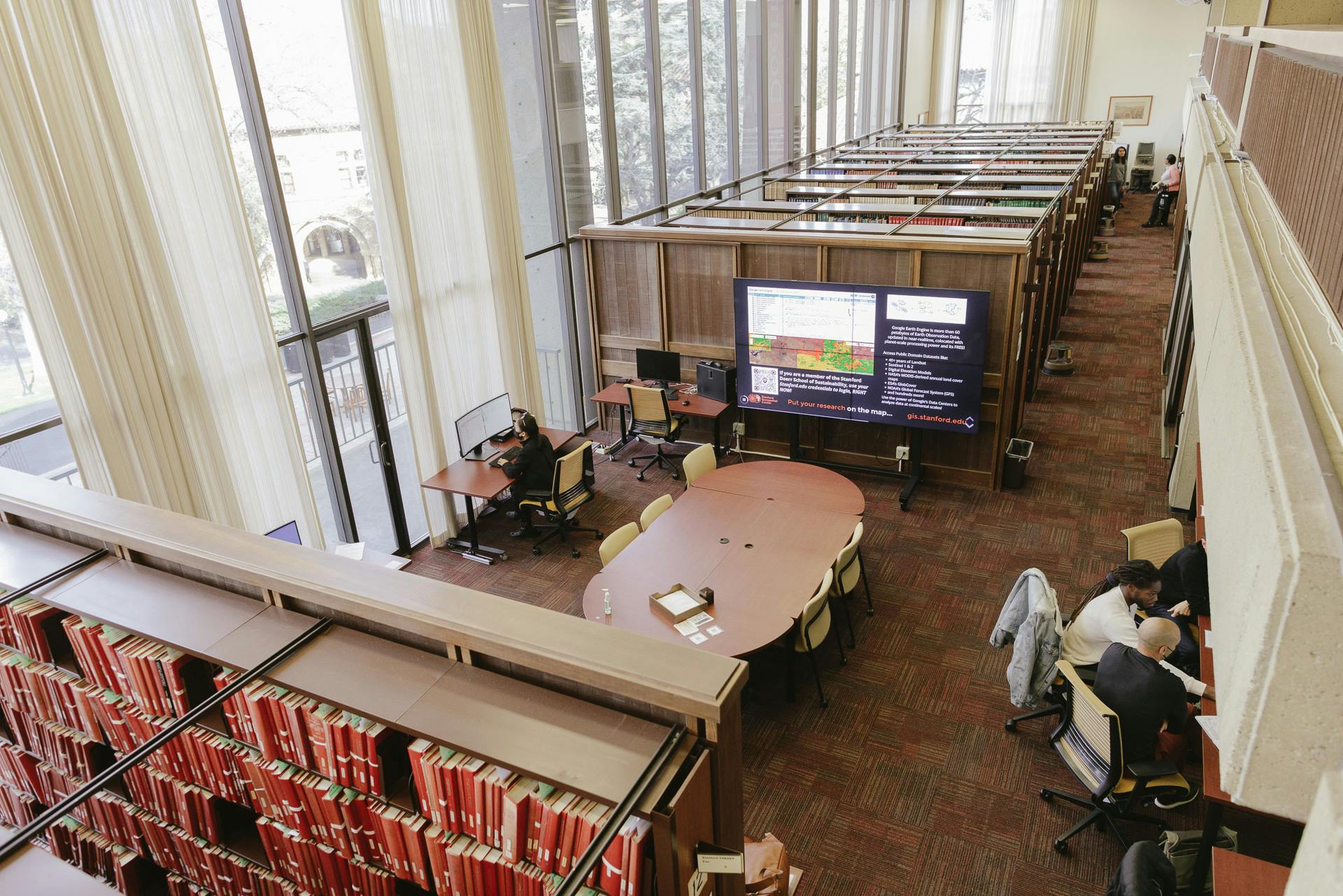
We have broad experience supporting the use of spatial data, from earth sciences to epidemiology and the digital humanities and can help you make the most of the “where” in your research. In our lab, patrons have access to powerful desktops, large high-resolution monitors, and digitization technology for working efficiently with spatial and Earth-observation data.
The GIS lab at Branner Earth Sciences Library is reserved for map and geospatial related work only. New users must be added to the GIS workgroup in order to log in. Please contact Stanford Geospatial Center Staff (stanford-geospatial@stanford.edu) for access.
For guidance on using our SGC Lab, see the GIS lab new user orientation.
Resources
The SGC Guide: Self-service resources for using our spatial data collections, software, and services.
The SGC Github repository: Workshops, guidance documentation, code and miscellaneous experiments of The Stanford Geospatial Center.
Data and platforms
- Earthworks: Browse and Search Stanford University Libraries' spatial data catalog, and leverage our cloud-optimized data holdings, directly from the Stanford Digital Repository.
- ArcGIS Online: Use your SUNet ID to access Cloud GIS, spatial data, our self-paced workshops and Download ArcGIS Pro.
- Google Earth Engine: Use your SUNet ID to log in to Google's cloud-based platform for large-scale geospatial data analysis, with access to the Google Earth Engine Data Catalog of satellite imagery and APIs for processing spatial data.
- Planet: Apply for research access to Planet.com's Planetscope Daily, and SkySat High Resolution, multispectral satellite imagery, through our Stanford Campus Plan.
- SimplyAnalytics: (Stanford IP only) Query, map, and export customized U.S. Census and other demographic dataset extracts.
Services
- locator.stanford.edu: (Stanford IP only) Stanford’s global geocoding service for research. Turn your global addresses and placenames into spatial data.
- Allmaps: Georeference any Stanford digitized map with IIIF URLs. Here’s more about how to use IIIF resources from a global community of Galleries, Libraries, Archives and Museums!
Getting help
- Join the Stanford Geospatial Center's Slack Space to become part of a growing community of spatial data and digital map users at Stanford University!
- Join our StanfordGIS Listserv to receive communications about infrastructure maintenance, new datasets, workshops, events, and updates to our platforms and services.
- Make an appointment with our SGC Staff using the links below.
Accessibility
The Stanford Geospatial Center is part of The Branner Earth Science Library and Map Collections, and is accessible to patrons with limited mobility. An elevator is available to take patrons to the library entrance on the second floor. A power-equipped, accessible entrance is located on the south side of the building.